This week, Andy looked online for nearby lakes we could take Ripley swimming in because he absolutely loves to swim. He stumbled across Eklutna Lake, which is about an hour north of our house. Eklutna is the water source for Anchorage - what a fantastic place to have our dog swim!
We got going around 8:30 and when we got to the lake, the water was perfectly calm:


The scenery, much like pretty much everything in Alaska, was completely breathtaking. We let Ripley head out for a swim right away:


On the way out of town I checked out the Chugach State Park website (yes, even though this place is over an hour NORTH of our house, it's still in the same State Park as many of the other places we went over the last few days), and it recommended two trails to hike. One was "easy" and circled the lake, but was 12.9 miles one way. Kind of a lot of distance for an easy Sunday. The other was the Twin Peaks trail which was only 2.6 miles. It was listed as "moderate to difficult" but since I've been in Alaska for almost a month now, I am clearly an expert hiker. Twin Peaks it would be!
The first part of the trail was densely treed - and densely mosquitoed. Oh, and really F*%#ing steep! We got completely eaten alive and kept saying "it's going to be windy soon! the bugs will go away! It will get flatter!" We were such idiots.
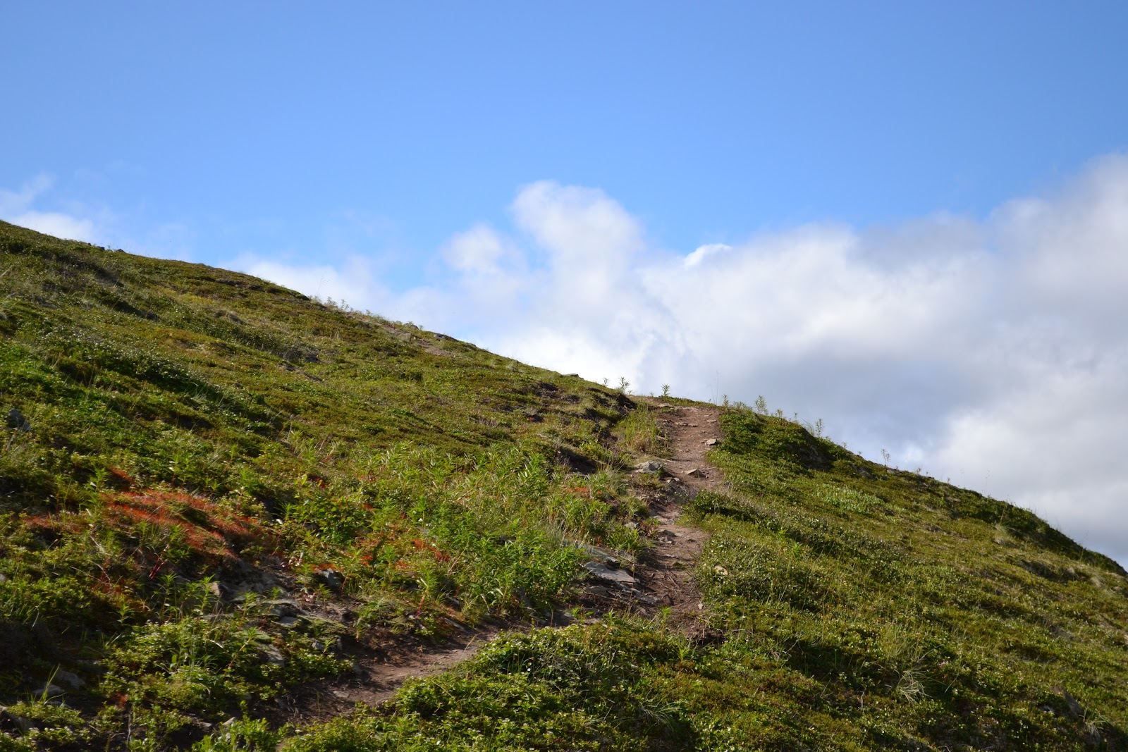
 |
| View back down from roughly a mile up. Already wishing we'd chosen the "easy" hike. |
 |
| Worth it! So pretty. |
 |
| If I look like I'm dying, it's because I am. This is not an attractive picture of me, but I feel like I need to remember my pain the next time we decide to take this hike. |
 |
| Soooo nice. Love this view. |

So we climbed, and we climbed, and we climbed some more. We hit the two mile mark and felt pretty good about ourselves, but it kept getting steeper.
Eventually, we got to a point where it was so steep and rocky, we didn't want to take Ripley any higher. Andy and I, determined to finish the damn hike, decided to trade off with the dog. From the point where we stopped, there was just a little ridge to cross:
And over the hill...the payoff: (Andy's pictures)


The view from the end of the trail was nothing short of spectacular. I felt like I was in a granola bar commercial.
From that point, you could also see back to the twin peaks. There were sheep, but they're REALLY hard to see from the pictures. I promise we saw them.

 |
| Can you spot Andy and Ripley waiting for me to finish the hike ? |
 |
| My turn to see the view. I even took this fantastic self portrait to prove I made it. |
On the way back down, after I fell on the trail (I didn't hurt myself, but I'm sure it was funny to watch), I got a chance to take more pictures of wildflowers. Boring to you, maybe, but I'm happy to put my new book to work:
 |
| This one was hard to tell from the book, but I think it's called "Twinflower" - see how they are all in little pairs? For reference, the flowers are teeny - smaller than my pinky nail. |
 |
| Lungwort - kind of an ugly name for a pretty flower |
 |
| Meadow with lots of Northern Paintbrush (yellow) and Geraniums (blue) This is also probably the LEAST steep portion of the trail in the last 2/3 of the hike. |
 |
| My new favorite - Northern Monkshood. The book says it's very poisonous, but it's also really pretty. |
 |
| Fireweed - knew that one |
 |
| Columbine - this one was more pink than the red ones we've been seeing |
 |
| Alpine Lily - so tiny! |
 |
| Andy looking weary. This is the viewpoint where we first saw the lake on the way up... this is how we knew we still had a LONG way to go. |
What a weekend!
No comments:
Post a Comment